Showing posts with label Pinlaung. Show all posts

Friday, January 8, 2016

Myanmar Motorcycle Journey 7 - Pinlaung to Loikaw


Cold. Oh, I was so cold. I thought I had been cold a few days previous, up in Kalaw, but this was a kind of coldness I had not experienced since leaving America.  I should point out that the town I was leaving, Pinlaung, has an elevation of 4800 feet (1460m). The temperature on the thermometer was all of 55F (13C), but I was moving on my motorbike, the air was thick with fog, and the sun had not yet risen over the ridge of the mountains. And I was wearing shorts. I didn't bring pants with me on the journey. Now, Pinlaung to Loikaw was another short stage, only 90km (55 miles); I could have just holed up in a tea house or someplace and waited it out until the air got warmer. No, with the help of some cold weather gear I bought along the way, I kept going.

In the town of Pekon, my breakfast was a bowl of Mohingga, the traditional Myanmar morning soup. My eyes and camera were open, looking for anything I could that I remembered from reading The Land a Green Ghosts, a remarkable and award-winning memoir by Pascal Khoo Thwe about growing up as a hill tribesman and the political upheaval in Myanmar in the late 80's and 90's. Much of the book is set in Pekon, and it was a real thrill for me to be visiting the town that had fascinated me so much in print. Literary tourism is a real thing, but it hasn't come to Pekon as of yet. There were no big signs saying "FORMER HOME OF PASCAL KHOO THWE THIS WAY!", but I did find one building mentioned quite a bit in the book, the town's main Catholic Church; most of the Padaung tribe are Catholic, not Buddhist.


Soon after leaving Pekon, I found myself in Loikaw, the capital of the state of Kayah. I found Loikaw to be a town of two halves. The north part of town had big, wide streets, sidewalks, landscaping, smooth flowing traffic and lots of beautiful buildings and monuments. Cross a one-lane bridge to the south part of town and you're in a crowded, chaotic, dusty Myanmar city.

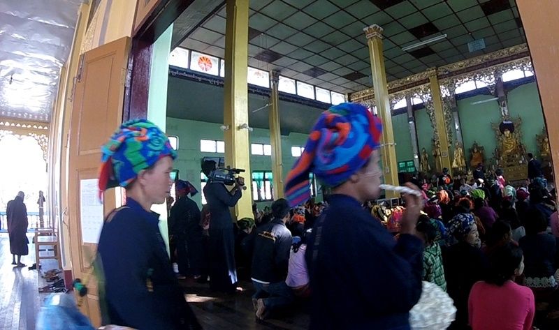
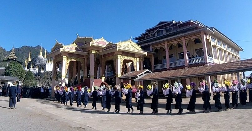
As you'll see in the video, my activities in Loikaw included finding a hotel, visiting the amazing Taung Kwel Zaydi pagodas and having a dinner I'll never forget. Continuing the theme of my favorite ukulele music in the background, enjoy!


Road Report:
Distance: 89 km
Travel time: 3 hours
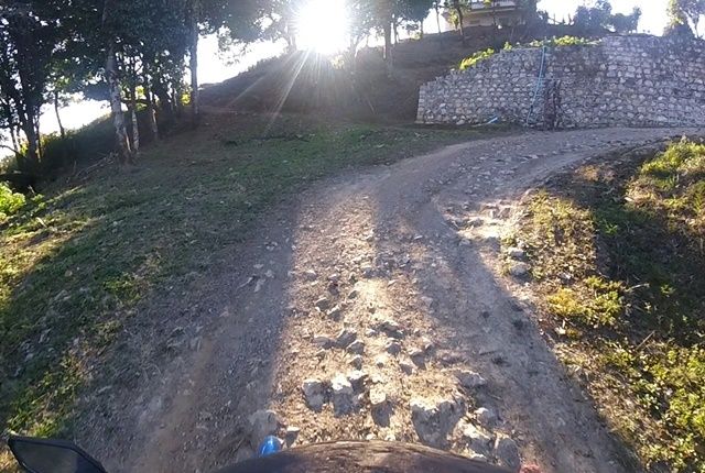
Road conditions (see the key): Excellent 2%, Good 83%, Fair 15%

Wednesday, January 6, 2016

Myanmar Motorcycle Journey 6 - Pinlaung

Christmas 2015 was rare in that it landed on a full moon. Well, at least that's what I thought as I stared into the clear skies of the Shan Hills. Sure looked like a fool moon. I imagine it's hard to pinpoint exactly which day the full moon falls. I mean, at the moment, it's one day here, but on the other side of the planet, it's still yesterday. There's probably some council of astronomers somewhere who make this decision.

The term "towel head" is a racial slur, but not against these
Shan women who literally wear towels on their heads.
So, actually, the full moon was on the 26th. As full moons are always holidays in Theraveda Buddhism, and the one for this month particularly so, I saw lots of celebrations and ceremonies on the roads of Myanmar as I made my way from Inle Lake to Pinlaung.


At the end of the video for Part 5 of this series, I ended it by showing a remarkable procession playing haunting, mystical music. What was the procession for? You'll see in the video.
The best reason to visit Pinlaung is to go up to Loi Maung Taung Pagoda. The view from up there, wow, even the locals who go there every day to pray are amazed by the vistas. 
Local kids are just as impressed as anyone


Near the top, the road becomes bad, but it so worth it. 


Another thing I did in Pinlaung is gather information. See, one of the scary parts about going there is that there was absolutely no tourist information about the place online whatsoever. No page in any travel guide. No reviews of any sort. My friend had told me there was a hotel, and as you saw, I found it just fine. One thing I am going to do now, however, is to create a Wikitravel (the travelers version of Wikipedia) page for the place. I found out about buses, trips up to the pagodas, I can review two restaurants there and as you'll see late in the video, I stopped at the other hotel in town to inquire about rates. I think of it as doing my good deed for the internet. 

Enjoy the video (have you noticed a theme in regards to the music?)


Monday, January 4, 2016

Myanmar Motorcycle Journey 5 - Nyaungshwe to Pinlaung

After two nights on the shores of Inle Lake, I was rested and ready for the next stage of the journey. We were treated nicely (got a free Christmas Dinner) by the folks at the Queen Inn (just across the canal near the bridge), so I said goodbye to them as well as my friend Dean, and I was back on the road.

As I skirted down the east coast of Inle Lake itself, I passed by several luxury resorts. $150-$200 per night type joints which I'm sure are quite lovely, but it got me thinking about how tourism is developing here in general, something I've though about quite a bit over the course of the entire journey.
I've had a lot on my mind, but not like this girl.
Seems to me like they're building way too many high-end accommodations and not enough mid-priced stuff. Why aren't there any affordable hotels on the lake? They're all up in the town of Nyaungshwe (connected to the lake by a canal). Why hasn't anyone opened a motorcycle rental shop in Nyaungshwe? Two sets of tourists asked me where I rented my bike. I understand the government here wants a controlled growth of their tourism industry, but I question the direction it's going.


Another example of this lop-sided development is the town of Nampan, a town almost as big as Nyaungshwe at the very southern end of the lake.  You'll see me make a detour into the town about 1 minute into the video. Before being joined by Dean, my plans included possibly staying a night in Lampan after visiting the ruins of Inn Dein the day before. I couldn't find any information for reasonable accommodations in Lampan, but I had been assured by others that there had to be a guesthouse or two. Look at the place. There's no guesthouses. In fact, it looked rather poverty strciken; an influx of tourist dollars certainly couldn't hurt the place.


Moooooove it!
South of Inle, the roads began to get hilly again, and I saw some remarkable stuff. Almost hit a cow. I do wonder who would get the worse of a cow-motorcycle collision.

There's a much larger lake a bit south of Inle, although this one is man-made, a product of the country's largest hydroelectric dam. I was admiring it's growing width in the valley below me, and eventually (after about 12 miles of looking at it), it occurred to me: The lake is on the wrong side! If I could see it at all, it should be on my left! Oh well. First time getting lost. I blame Google Maps. They showed the road I was on as ending at the point where I needed to turn right up towards Pinlaung. It didn't end.  

The geology got more and more interesting.


I'm always fascinated by Buddhists monks on motorcycles. 

Finally, I got to Pinlaung which I'll write about more in the next blog


And enjoy the video...


Road Report:
Distance traveled: 95 km (was supposed to be 60)
Time: 3.5 hours
Conditions (see the key): Good 35%; fair 60%; bad 5%

An Infographic worthy of the Konbaung Dynasty.

From the infographic desk at history teacher Joko's house comes a timeline that I want to print up and hang on the wall. The Konbaung Dy...